Cajati Environmental Protection Area
The Cajati Environmental Protection Area (Portuguese: Área de Proteção Ambiental de Cajati) is an environmental protection area in the state of São Paulo, Brazil.
| Cajati Environmental Protection Area | |
|---|---|
| Área de Proteção Ambiental de Cajati | |
IUCN category V (protected landscape/seascape) | |
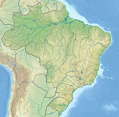 | |
| Nearest city | Cajati, São Paulo |
| Coordinates | 24.812378°S 48.253306°W |
| Area | 2,976 hectares (7,350 acres) |
| Designation | Environmental protection area |
| Created | 21 February 2008 |
| Administrator | Fundação Florestal SP |
Location
The Cajati Environmental Protection Area is in the municipality of Cajati, São Paulo. It has an area of 2,976 hectares (7,350 acres).[1] It is in the Atlantic Forest biome, Vegetation is dense rainforest.[2] Hunting, fishing and sale of land are prohibited.[3]
History
The Cajati Environmental Protection Area was created by state law 12.810 of 21 February 2008 with an area of 2,975.71 hectares (7,353.1 acres).[4] This law broke up the old Jacupiranga State Park and created the Jacupiranga Mosaic with 14 conservational units.[5]
Notes
- APA de Cajati – ISA, Informações gerais.
- Sobre a Área de Proteção – SAP.
- APA de Cajati – Fundação Florestal.
- APA de Cajati – ISA, Historico Juridico.
- Zanchetta & Bedeschi 2008.
Sources
- APA de Cajati (PDF) (in Portuguese), Fundação Florestal SP, archived from the original (PDF) on 2016-11-27, retrieved 2016-11-26
- APA de Cajati (in Portuguese), ISA: Instituto Socioambiental, retrieved 2016-11-26
- Sobre a Área de Proteção (in Portuguese), SAP: Sistema Ambiental Paulista, retrieved 2016-11-26
- Zanchetta, Inês; Bedeschi, Luciana (28 February 2008), Mosaico do Jacupiranga, no Vale do Ribeira, agora é lei (in Portuguese), ISA: Instituto Socioambiental, retrieved 2016-11-20
This article is issued from Wikipedia. The text is licensed under Creative Commons - Attribution - Sharealike. Additional terms may apply for the media files.