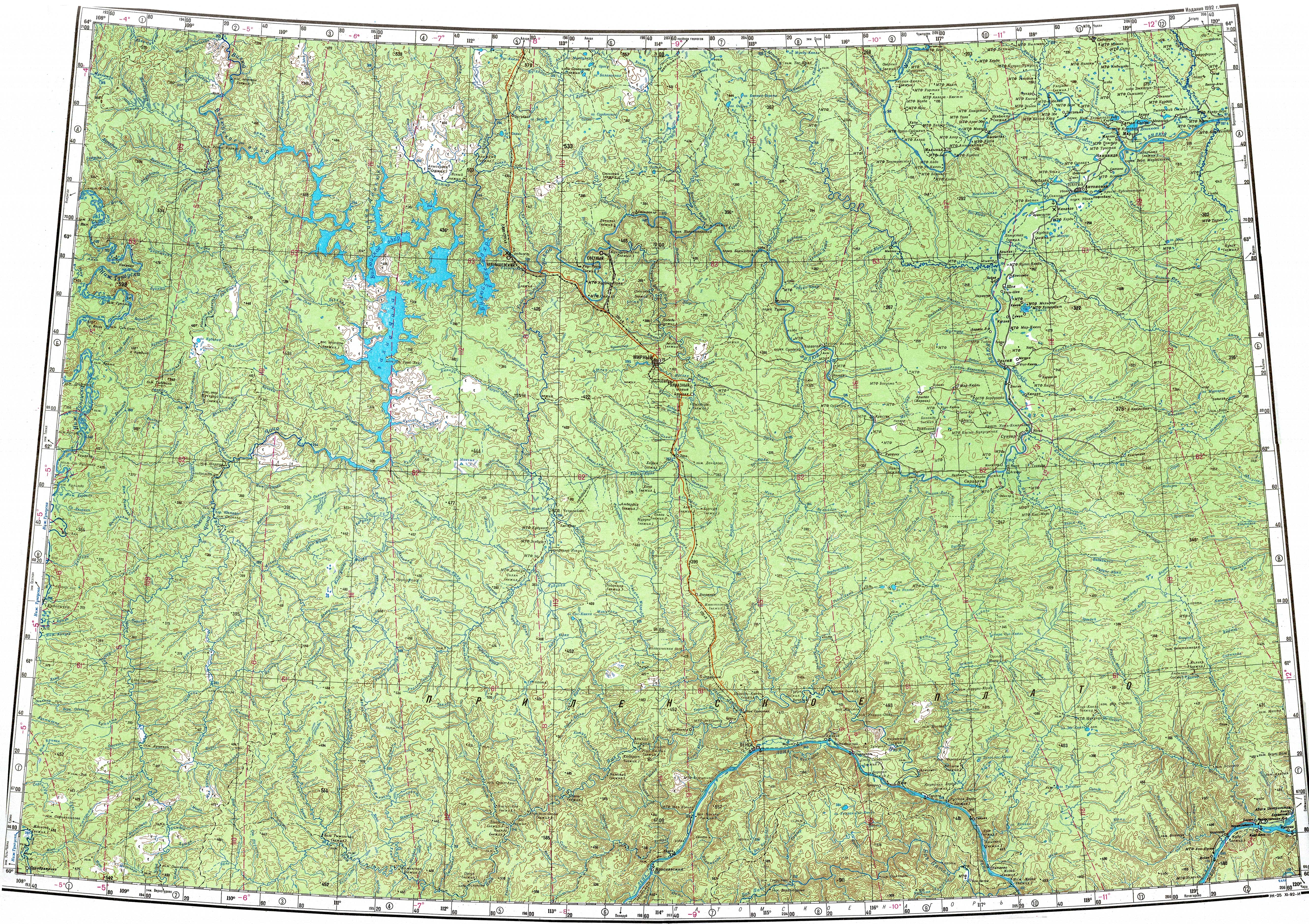
Cherendey (river)
The Cherendey (Russian: Черендей; Yakut: Чэрэндэй, Çerendey) is a river in Yakutia (Sakha Republic), Russia. It is a tributary of the Lena with a length of 226 kilometres (140 mi) and a drainage basin area of 2,910 square kilometres (1,120 sq mi).[1]
| Cherendey Черендей / Чэрэндэй | |
|---|---|
 Lena basin with the Cherendey in the center | |
  Mouth location in Yakutia, Russia | |
| Location | |
| Country | Russia |
| Physical characteristics | |
| Source | |
| • location | Lena Plateau |
| • coordinates | 60°28′22″N 118°29′10″E |
| Mouth | Lena |
• location | Near Cherendey village |
• coordinates | 60°11′10″N 119°17′27″E |
• elevation | 397 m (1,302 ft) |
| Length | 226 km (140 mi) |
| Basin size | 2,910 km2 (1,120 sq mi) |
| Basin features | |
| Progression | Lena→ Laptev Sea |
The river flows across an uninhabited area of the Olyokminsky District. Abandoned Cherendey village is located by the left bank of the Lena, close to its confluence.[2]
Course
The Cherendey is a left tributary of the Lena. It has its source in a small lake of the Lena Plateau located at a height of 397 m (1,302 ft). The river heads in a roughly southeastern direction across a taiga area. In mid course it bends to the northeast and flows slowly and meandering in a wide, swampy valley. Finally it meets the Lena 2,178 kilometres (1,353 mi) from its mouth near Cherendey village and 18 kilometres (11 mi) upstream from the mouth of the Biryuk.[3]
The largest tributaries of the Cherendey are the 50 kilometres (31 mi) long Nuuchcha-Tanyita (Нуучча-Таныыта) and the 41 kilometres (25 mi) long Onkuchakh-Yurekh (Онкучах-Юрэх) that join it from the left. There are lakes and swamps in the upper part of its basin. The river freezes yearly between October and May.[2][1]
See also
References
- "Река Чэрэндэй in the State Water Register of Russia". textual.ru (in Russian).
- "Топографска карта P-49, 50; M 1:1 000 000 - Topographic USSR Chart (in Russian)". Retrieved 9 April 2022.
- Google Earth