Maków Podhalański
Maków Podhalański [ˈmakuf pɔtxaˈlaɲskʲi] (known as Maków until 1930) is a town in southern Poland, on the Skawa river. Population: 5,738 (2006).
Maków Podhalański | |
|---|---|
 Church of the Transfiguration of Christ | |
 Flag  Coat of arms | |
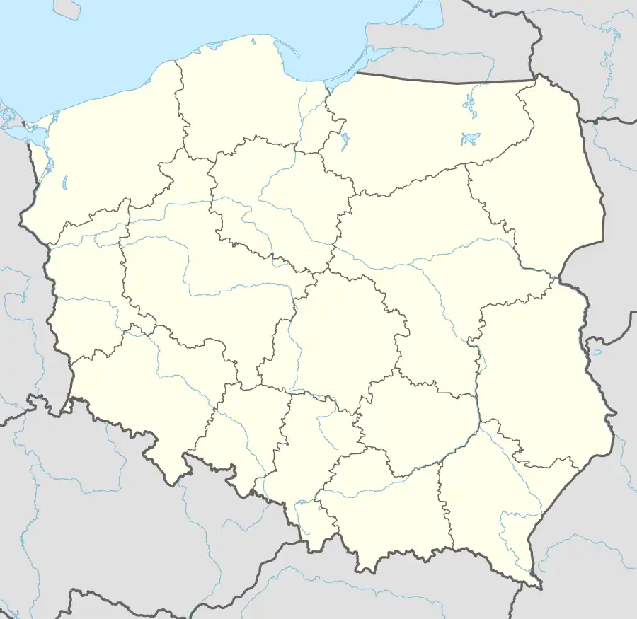  Maków Podhalański 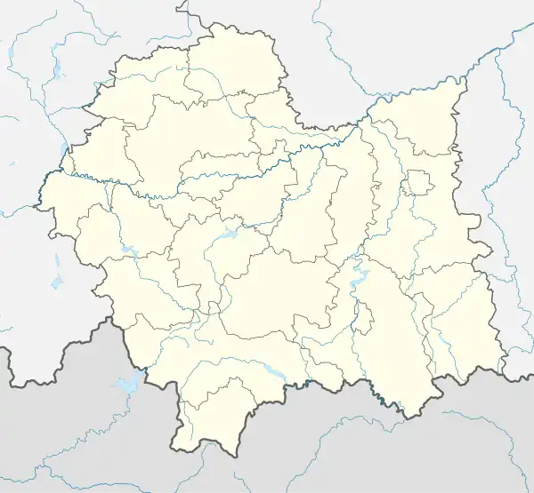 Maków Podhalański | |
| Coordinates: 49°43′50″N 19°40′51″E | |
| Country |  Poland Poland |
| Voivodeship |  Lesser Poland Lesser Poland |
| County | Sucha |
| Gmina | Maków Podhalański |
| Government | |
| • Mayor | Paweł Sala |
| Area | |
| • Total | 20.04 km2 (7.74 sq mi) |
| Elevation | 455 m (1,493 ft) |
| Population (2006) | |
| • Total | 5,738 |
| • Density | 290/km2 (740/sq mi) |
| Time zone | UTC+1 (CET) |
| • Summer (DST) | UTC+2 (CEST) |
| Postal code | 34-220 |
| Car plates | KSU |
Since 1999 situated in Sucha County, Lesser Poland Voivodeship. Previously (1975–1998) in Bielsko-Biala Voivodeship.
External links
- Municipality home page
- Jewish Community in Maków Podhalański on Virtual Shtetl

Wikimedia Commons has media related to Maków Podhalański.
| Town and seat | | |
|---|---|---|
| Villages | ||
This article is issued from Wikipedia. The text is licensed under Creative Commons - Attribution - Sharealike. Additional terms may apply for the media files.