Bmakine
Bmakine (Arabic: بمكين) is a village in the Aley District of Lebanon. It is 700 meters above sea level.[1]
Bmakine
بمكين | |
|---|---|
Town | |
 Bmakine Bmakine shown within Lebanon | |
| Coordinates: 33°47′49″N 35°34′13″E | |
| Country | Lebanon |
| Governorate | Mount Lebanon |
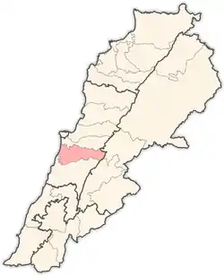
| District | Aley |
| City | Aley |
| Area | |
| • Total | 1.11 km2 (0.43 sq mi) |
| Elevation | 700 m (2,300 ft) |
| Time zone | UTC+2 |
| • Summer (DST) | UTC+3 |
| ISO 3166 code | LB |
Location and geography
Bmakine lies on a hill in Aley, overlooking the Mediterranean sea from the west, 20 minutes away from Beirut.
History
In 1838, Eli Smith noted the place, called Bmikkin, located in El-Ghurb el-Fokany, upper el-Ghurb.[2]
Bibliography
See also
External links
- Bmakine, Localiba
Capital: Aley | ||
| Towns and villages |
|  |
This article is issued from Wikipedia. The text is licensed under Creative Commons - Attribution - Sharealike. Additional terms may apply for the media files.