Clarendon, Victoria
Clarendon is a rural locality in central Victoria, Australia. The locality is in the Shire of Moorabool and on the Midland Highway, 119 kilometres (74 mi) west of the state capital, Melbourne.
| Clarendon Victoria | |
|---|---|
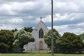 St Mary's Roman Catholic church at Clarendon | |
 Clarendon | |
| Coordinates | 37°41′49″S 143°58′31″E |
| Population | 163 (2021 census)[1] |
| Postcode(s) | 3352 |
| Location | |
| LGA(s) | Shire of Moorabool |
| State electorate(s) | Eureka |
| Federal division(s) | Ballarat |
At the 2021 census, Clarendon had a population of 163.[1]
References
- Australian Bureau of Statistics (28 June 2022). "Clarendon (Vic.)". 2021 Census QuickStats. Retrieved 18 November 2022.
External links
![]() Media related to Clarendon, Victoria at Wikimedia Commons
Media related to Clarendon, Victoria at Wikimedia Commons
Localities in the Shire of Moorabool | ||
|---|---|---|
| Town |
| |
| Locality |
| |
^ - Territory divided with another LGA | ||
This article is issued from Wikipedia. The text is licensed under Creative Commons - Attribution - Sharealike. Additional terms may apply for the media files.