Kolatak
Kolatak (Armenian: Քոլատակ; Azerbaijani: Kolatağ) is a village de facto in the Martakert Province of the breakaway Republic of Artsakh, de jure in the Kalbajar District of Azerbaijan, in the disputed region of Nagorno-Karabakh. The village has an ethnic Armenian-majority population, and also had an Armenian majority in 1989.[2]
Kolatak
Քոլատակ | |
|---|---|
| Kolatağ | |
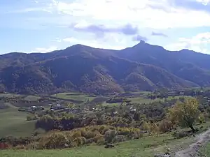 A view of Kolatak | |
 Kolatak 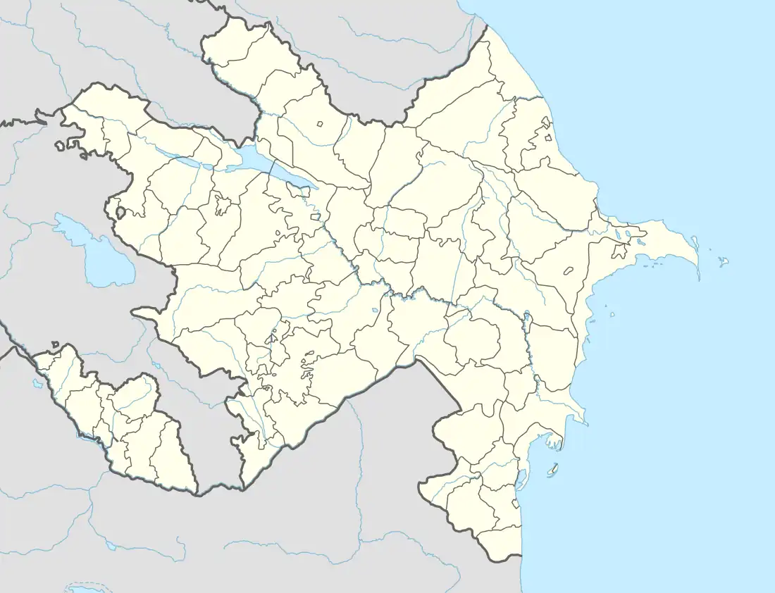 Kolatak | |
| Coordinates: 40°00′11″N 46°36′00″E | |
| Country (de facto) | |
| • Province | Martakert |
| Country (de jure) | |
| • District | Kalbajar |
| Population (2015)[1] | |
| • Total | 250 |
| Time zone | UTC+4 (AMT) |
Situated on a mountain above the village is the Armenian monastery of Hakobavank, from between the 7th and 13th centuries.
History
During the Soviet period, the village was a part of the Mardakert District of the Nagorno-Karabakh Autonomous Oblast.
Historical heritage sites
Historical heritage sites in and around the village include the monastery of Hakobavank (Armenian: Հակոբավանք; also known as the monastery of Metsaranits, Մեծառանից) from between the 7th and 13th centuries, the fortress of Kachaghakaberd (Armenian: Կաչաղակաբերդ) in the mountains to the south - an important fortress in the medieval Armenian Principality of Khachen, the medieval fortress of Berdakar (Armenian: Բերդաքար), khachkars from between the 9th and 13th centuries, the church of Koshik Anapat (Armenian: Կոշիկ անապատ), the fortress of Isarantsots (Armenian: Իսարանցոց) and a cemetery from between the 12th and 13th centuries, a 13th-century church, the village of Alan Veran (Armenian: Ալան Վերան) and a cemetery from between the 16th and 18th centuries, the 17th-century Mandur Church (Armenian: Մանդուռի եկեղեցի, romanized: Manduri Yekeghetsi), the 17th/18th-century village of Hndzan (Armenian: Հնձան), a 19th-century oil mill, and a cave.[1]
Economy and culture
The population is mainly engaged in agriculture and animal husbandry. As of 2015, the village has a municipal building, a secondary school, and a medical centre.[1]
Gallery
 A view of the village
_23.jpg.webp) Hakobavank complex
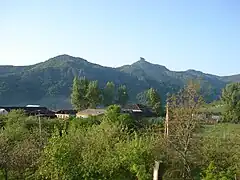
Hakobavank complex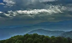 Scenery around Kolatak
_03.jpg.webp) Armenian-language inscription in the monastery of Hakobavank
Armenian-language inscription in the monastery of Hakobavank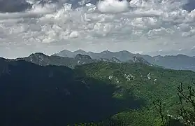 Mountains around Kolatak
 The 12th/13th-century Koshik Anapat Church
References
- Hakob Ghahramanyan. "Directory of socio-economic characteristics of NKR administrative-territorial units (2015)".
- Андрей Зубов. "Андрей Зубов. Карабах: Мир и Война". drugoivzgliad.com.
- "The Results of the 2005 Census of the Nagorno-Karabakh Republic" (PDF). National Statistic Service of the Republic of Artsakh.
External links
Capital: Martakert | ||
| Urban communities |  | |
| Rural communities |
| |
| Not under Artsakh control | ||
